
Environmental Risks of China’s Yarlung Tsangpo Mega-Dam
By Khedroob Thondup
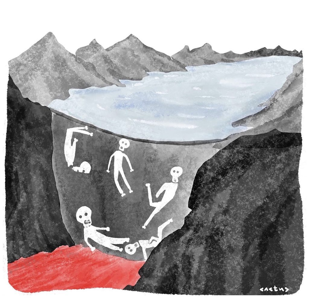
China’s proposed mega-dam on the Yarlung Tsangpo River, located approximately 50 miles from the Indian border, represents one of the most consequential hydropower projects in the Himalayas. While Beijing frames the dam as a renewable energy initiative, the project carries severe environmental, ecological, and geopolitical risks for downstream nations—particularly India and Bangladesh. This brief outlines the potential consequences, regional security implications, and policy recommendations for mitigating the risks.
Background. The Yarlung Tsangpo flows eastward across Tibet before plunging into the world’s deepest gorge and entering India as the Brahmaputra River. The Brahmaputra sustains millions of livelihoods in Assam and Bangladesh, supporting agriculture, fisheries, and ecosystems. China has already constructed multiple dams upstream, but this proposed mega-dam would be the largest hydropower project in the world, with capacity exceeding the Three Gorges Dam.
Key Environmental Risks. Seismic Vulnerability
The dam site lies in the Himalayan seismic belt, one of the most earthquake-prone regions globally. Large reservoirs can trigger reservoir-induced seismicity, potentially destabilizing fault lines. A dam failure in this terrain could unleash catastrophic floods downstream.
Hydrological Disruption. Altered river flow will reduce sediment transport, leading to soil erosion and loss of fertile land in Assam and Bangladesh. Seasonal flooding patterns, critical for agriculture, may be disrupted.
Ecological Collapse. The Brahmaputra basin hosts rich biodiversity, including endangered species. Damming threatens aquatic ecosystems, fisheries, and wetlands that millions depend on.
Disaster Amplification. Landslides and glacial lake outburst floods (GLOFs) are common in the Himalayas. A mega-dam increases the risk of sudden water surges, magnifying natural disasters.
Geopolitical and Security Implications.Water leverage: Control of the Tsangpo gives Beijing strategic influence over India and Bangladesh.
Data opacity: China’s reluctance to share hydrological data leaves downstream nations vulnerable during floods. Border tensions: The dam’s proximity to contested Sino-Indian borders risks turning water into a geopolitical weapon.
Policy Recommendations. For India and Bangladesh. Hydrological monitoring: Invest in satellite and sensor networks to track upstream water flows. Disaster preparedness: Strengthen flood forecasting, evacuation systems, and resilient infrastructure. Diplomatic engagement: Push for trilateral water-sharing agreements with China.
For Regional Cooperation. Energy alternatives: Promote solar and wind projects in Tibet as safer renewable options. Transparency mechanisms: Establish binding protocols for hydrological data sharing. Multilateral forums: Elevate the issue in platforms like SAARC and the UN.
Conclusion. The Tsangpo mega-dam is not merely an engineering project—it is a potential ecological and humanitarian disaster. Its risks extend beyond Tibet, threatening the lives, livelihoods, and ecosystems of millions downstream. India and Bangladesh must treat this as a strategic water security challenge, combining diplomacy, disaster preparedness, and regional cooperation to mitigate the dangers.

Khedroob Thondup is a former Tibetan diplomat and parliamentarian, and nephew of the 14th Dalai Lama. He is also the editor of the book: Dalai Lama, My Son and Tibet in Turmoil.
The views expressed in this article are those of the author and should not be attributed to Tibet Express